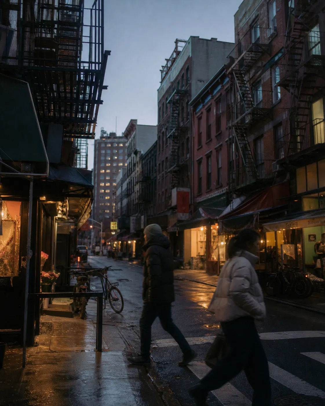
CHINATOWN
Chinatown needs no added set dressing. Chinese signs, curved lanes, old storefronts, market displays, and passing pedestrians already bring color and sound into the street. The work is to respect that public life, not turn the neighborhood into an exotic backdrop.
- BEST TIME
- Evening into Blue Hour
- DURATION
- 45–70 MIN
- CHARACTER
- Color / Neon / Urban / Documentary
- COORDINATES
- 40.7158, -73.9970
Doyers Street bends before it has traveled very far, stacking signs, fire escapes, and façades into a tight view. Pell and Mott Streets straighten out nearby. Chinese lettering, awnings, shop displays, and pedestrians spread across a wider everyday scene, giving two adjacent blocks markedly different compositions.
East Broadway widens near the Manhattan Bridge, leaving enough room for the bridge, residential blocks, and local businesses to be seen together. The emphasis remains the language and public life of a Chinese neighborhood. Tenement façades and art-led streets belong to the Lower East Side route next door.
Morning is best for reading the buildings and signs. From evening into blue hour, shop lights and heavier foot traffic take over. Photography remains on public streets and makes room for merchants and pedestrians. Restaurants, market stalls, and religious interiors require consent; none are treated as a freely available set.
Doyers Street — Curved lane and compressed sign layers · Pell Street / Mott Street — Chinese storefronts, awnings, and daily movement · East Broadway near the Manhattan Bridge — Bridge structure, housing, and neighborhood street life
SoHo adds cast-iron architecture; the Lower East Side adds tenement brick and contemporary street culture. Each should remain a separate chapter beside Chinatown’s Chinese neighborhood life.