WILLIAMSBURG
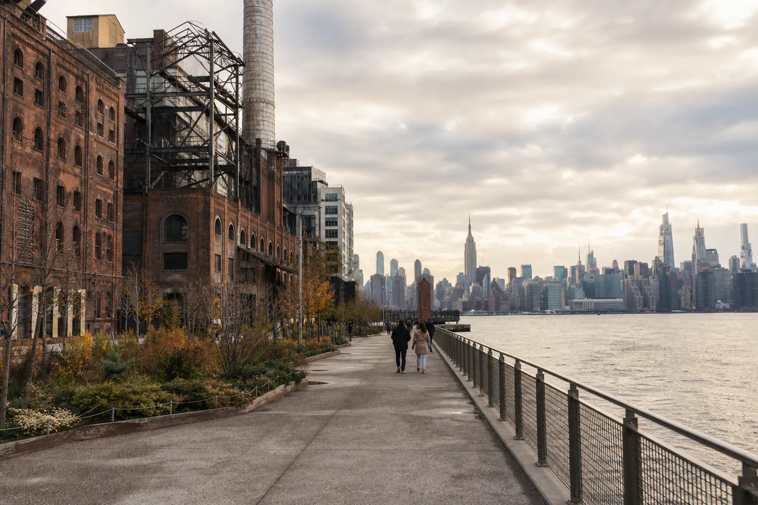
On the Williamsburg waterfront, the former Domino Sugar Refinery, the Williamsburg Bridge, and the Manhattan skyline can all appear in the same walk. Brick industrial buildings hold one side of the frame while the open river loosens the other; west-facing light makes this an especially good place to end the day.
- BEST TIME
- Late-Day Backlight / Blue Hour
- DURATION
- 45–70 MIN
- CHARACTER
- Industrial / Waterfront / Skyline / Modern
- COORDINATES
- 40.7151, -73.9665
Domino Park occupies the former Domino Sugar Refinery waterfront. Preserved machinery, the brick refinery, and the Elevated Walkway keep its industrial history visible. Across the East River lies Manhattan; the Williamsburg Bridge enters from the south. The materials and scale are distinctly different from DUMBO’s stone arches and cobbled blocks.
From the Elevated Walkway, the refinery and waterfront can be read from above. Grand Ferry Park and North 5th Street Pier lower the viewpoint and bring the river closer. Farther north, Marsha P. Johnson State Park adds grass, brick paving, and a broader shoreline, preventing the route from repeating the same skyline view.
Backlight from late afternoon into blue hour gives the west-facing shoreline its depth; morning makes the industrial lines quieter and cleaner. Domino Park explicitly requires advance approval for commercial, wedding, and student photography. Permission must therefore be secured before this route is offered for booking.
Domino Park Elevated Walkway — Refinery structure, bridge, and skyline · Grand Ferry Park / North 5th Street Pier — Lower waterfront view toward Manhattan · Marsha P. Johnson State Park waterfront — Grass, brick paving, and open East River
Continue north into Greenpoint, or keep Williamsburg as the final late-day section of a Brooklyn route. Its locations do not overlap with DUMBO or Brooklyn Heights.