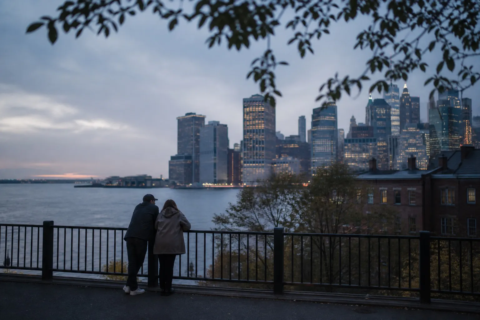
BROOKLYN HEIGHTS
Brooklyn Heights changes quietly. The Promenade lays the full Lower Manhattan skyline across the East River; turn into the blocks behind it and the view closes around brownstones, tree shade, and stoops. Open distance and close residential detail are only a few steps apart.
- BEST TIME
- Golden Hour / Blue Hour
- DURATION
- 50–75 MIN
- CHARACTER
- Skyline / Promenade / Open / Brownstone
- COORDINATES
- 40.6960, -73.9981
From the Promenade above the BQE, the westward view runs from Lower Manhattan toward New York Harbor and the Brooklyn Bridge. No overhead steel or warehouse corridor interrupts it. The horizon is broad and nearly level, with room for the couple to stand apart from the skyline rather than merge into it.
Willow Street, Pierrepont Place, and Columbia Heights are directly behind the overlook, but they feel much smaller. Brownstone façades, leafy branches, stoops, and corners repeat at walking pace. Close portraits made here give the river view a domestic, quieter counterpart.
One option is to begin among the brownstones, then reach the Promenade for golden hour and blue hour. Reverse the order if city lights should be the final image. This page stops at the overlook and residential streets; the warehouses and cobbled waterfront remain part of DUMBO.
Promenade mid-section — Lower Manhattan skyline across the East River · Willow Street — Tree-lined brownstone façades · Pierrepont Place / Columbia Heights — Stoops, corners, and residential scale
Add DUMBO for cobbles and waterfront warehouses, or Brooklyn Bridge for the elevated crossing. Brooklyn Heights itself remains with the overlook and brownstone streets.